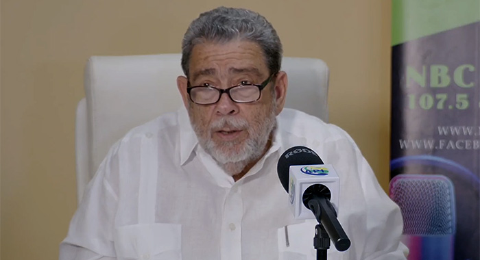
A hurricane watch came into effect for St. Vincent and the Grenadines at 11 a.m. Saturday as Tropical Storm Beryl is expected to strengthen to a category 2 hurricane by Monday when it is expected to impact the country, Prime Minister Ralph Gonsalves said on Saturday.
He said that the watch means sustained winds of 74 miles per hour or greater are expected across the country within the next 48 hours.
“Beryl is expected to become a dangerous hurricane by the time it reaches near St. Vincent and the Grenadines, which is predicted, given the current track of the storm, would hit us sometime mid-morning on Monday, the first of July,” Gonsalves said in a national address.
He said the storm is forecast to approach the archipelago from the south, tracking through the southern Grenadines, passing through Bequia and St. Vincent before moving out over the Caribbean Sea.
He said tropical storm conditions are likely to intensify across the country by late Sunday night and category 2 or higher hurricane conditions are expected to hit the country by mid-morning.
The prime minister said that while meteorology is not an exact science, it gives “a reasonable scientific predictability”, adding that people have to make decisions and preparations.
He said the cyclone is expected to produce rainfall of between 4 and 6 inches or even higher across the country.
The prime minister noted that 2 inches of sustained rain in a relatively short period would flood the capital, Kingstown.
“Four inches will undoubtedly flood the city,” he said.
“You do not require any imagination as to how we are going to have to tackle that from the standpoint of the business of government and ordinary life and living and for the opening of businesses on Monday.”
He said marine conditions are expected to be “very rough and hazardous” with sea swells exceeding 13 feet, possibly rising to 26 feet or more during Monday.
He said “large and disruptive” swells are likely to cause life-threatening surf, rip currents and storm surges across the country.
“I’m asking all owners of fishing boats to secure your boats, your engines, your nets and pull them away from the shoreline…” he said.
The prime minister said that at 8 a.m. on Saturday, he chaired a meeting of the National Emergency Council, which was attended by all the stakeholders from the public and relevant private sector entities.
“And we went through with everybody what we are required to do 48 hours before the expected hit on Monday morning; what you have to do 24 hours and focusing on 24 hours and 12 hours before.
“So, everyone, every subcommittee, every relevant person has his or her marching orders and those preparations are in train.”
In May, regional forecasters forecast a “hyperactive” 2004 Atlantic Hurricane Season with up to 29 named storms, 13 of which are likely to become hurricanes, including seven major hurricanes.
The Barbados-based Caribbean Institute of Caribbean Institute for Meteorology and Hydrology (CIMH), presenting its Wet/Hurricane Season Caribbean Climate Outlook Forums (CariCOF), said historical activity in the region is similar to the years 2010, 2013, 2020 and 2023.
It said modules suggest a 66%chance of at least one major hurricane tracking through the Caribbean, adding that 2024 resembles 2010, which began as the driest year in the eastern Caribbean but ended as the wettest on record, including the deluge and devastation wrought by Hurricane Tomas.


Ha man do not know they have power over the earth even storms haha
“Has his or her marching order”? U ain’t mean one like when d soufray did blow and ppl have to make it out how dey can on dear own after community’s consultation reassuring efficiency.